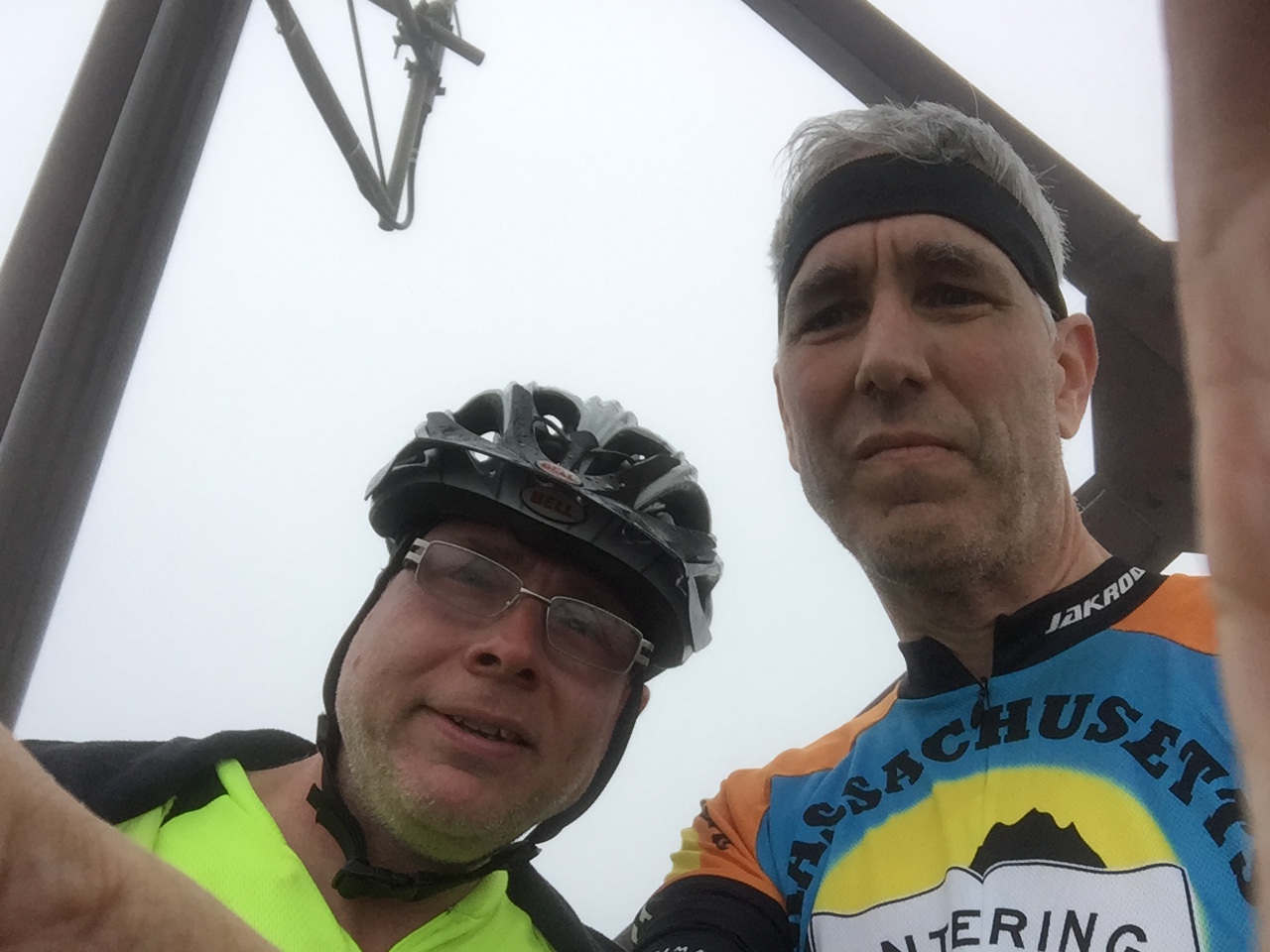
Training this year is focused on the August climb of Mount Washington. So -- joined by Alex (also climbing Washington), we headed off to Worcester County (aka "Big Thigh Country") to tackle Mount Wachusett, at just over 2,000 feet the highest Mass. peak east of the Connecticut River (category 2 climb). (PS -- Charles River Wheelmen run a century ride here annually) (PPS - in Wampanoag, Wachusett means "mountain place" -- stupid Pilgrims -- what do you call this mountain? "Mountain" -- Duh!)
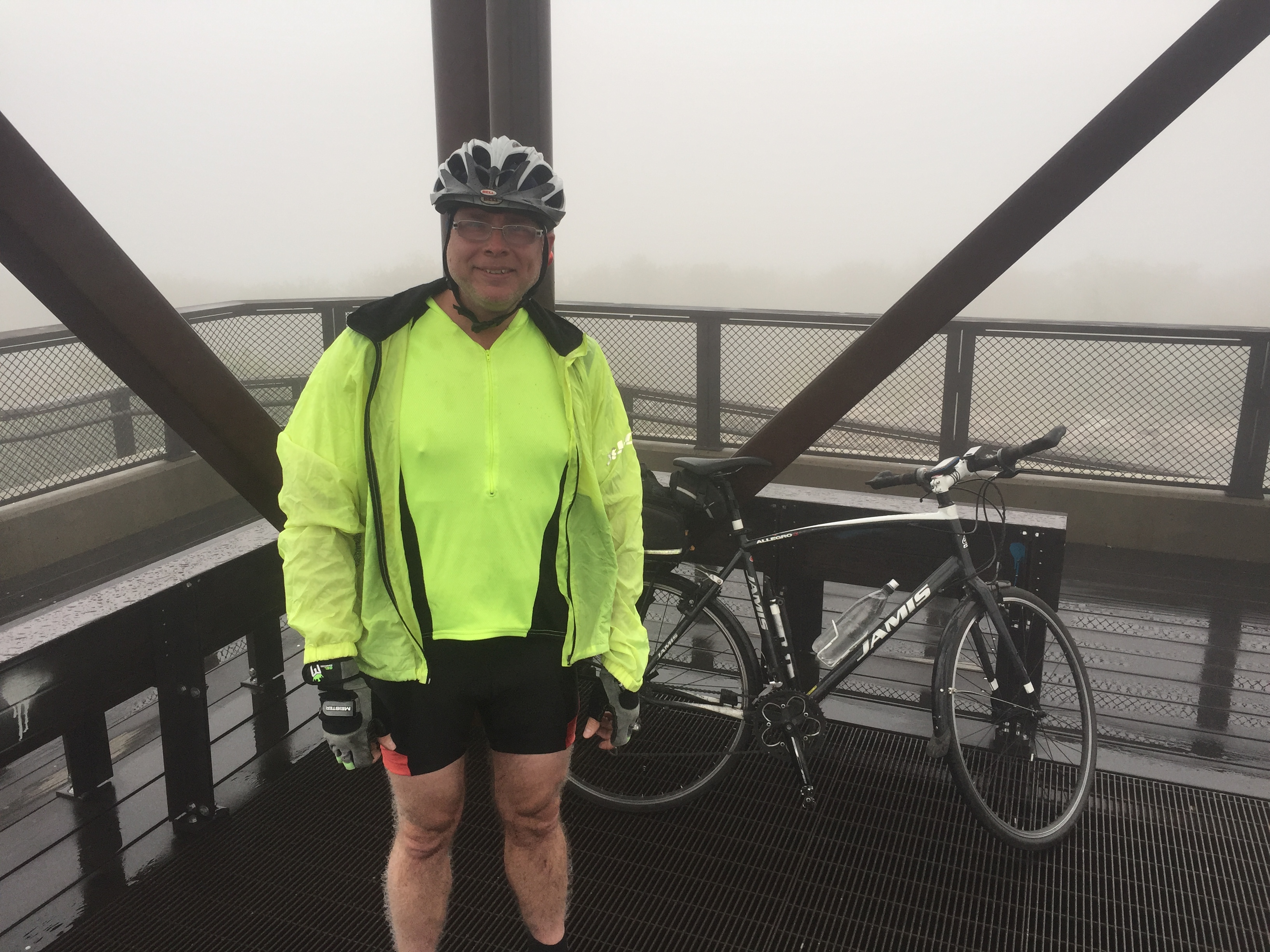
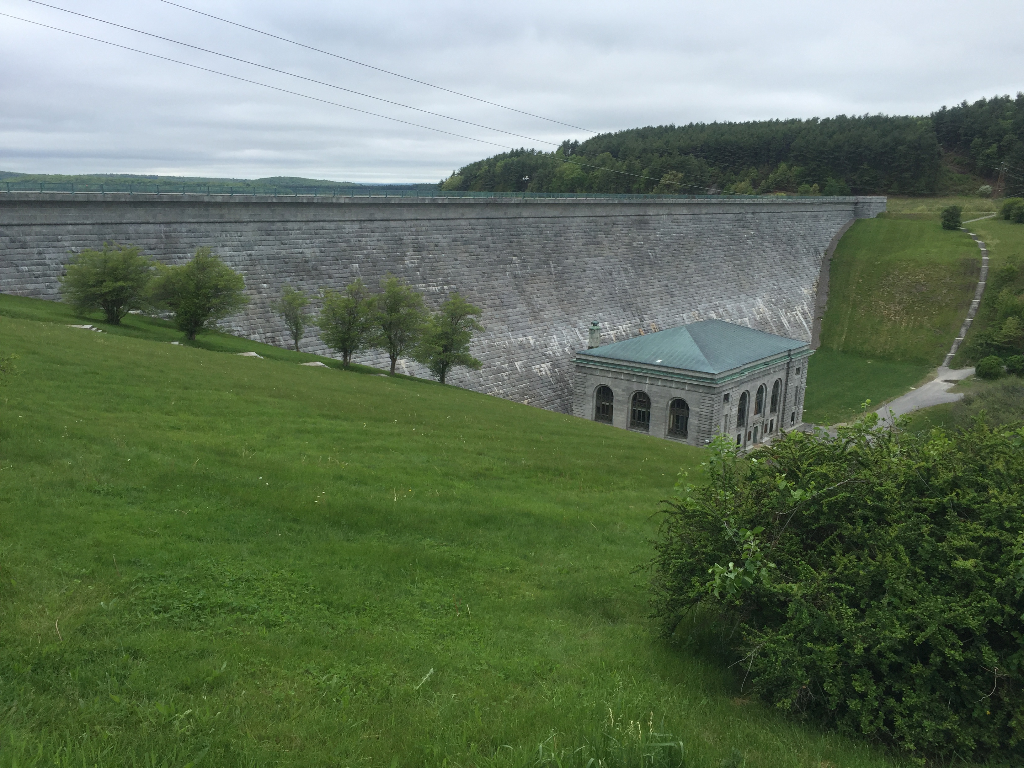
Our 48 mile trek began near Wachusett Dam in Clinton. Once we headed up Route 62 to Princeton, the fun began. It's a steady climb up into Princeton Center, and from there you head onto Mountain Road, and then up the mountain. Unlike Greylock, it's a much wider variation of terrain, with flats / downhills mixed with 10%+ grade. The summit is sneaky-steep, especially if (as is frequently the case) it is up in the clouds, out of sight from below.
DCR suggests that from the summit you can see Boston, Monadnock and the Connecticut River. We saw -- nothing but clouds. We bypassed a detour to Redemption Rock, then ran into repaving on Route 140 which forced a detour and another 700 feet of climbing. Good thing we brought our Big Thighs! (and next time we will definitely seek Redemption!)